I have spent the past few days on and off modelling the site. This gives a great understanding of the area as I have to use CAD data and mapping to create the terrain and site. This was especially helpful with this project as it helped me to see just how flat the area is and how close it is to sea level, it is in real danger. It also gives me a 1:1 idea of the 3d space available and will allow me to easily create concepts and develop ideas in a true 3d environment.
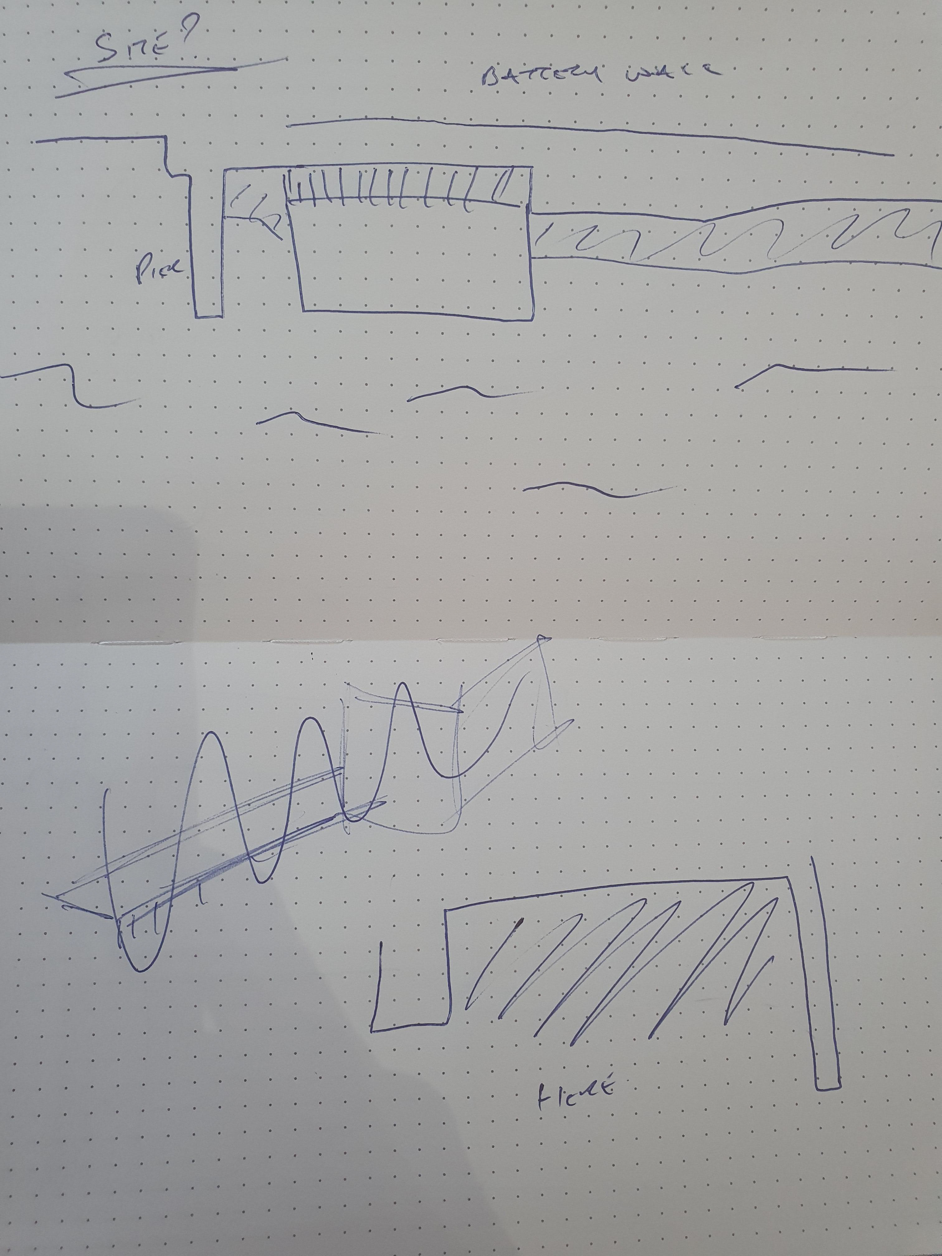
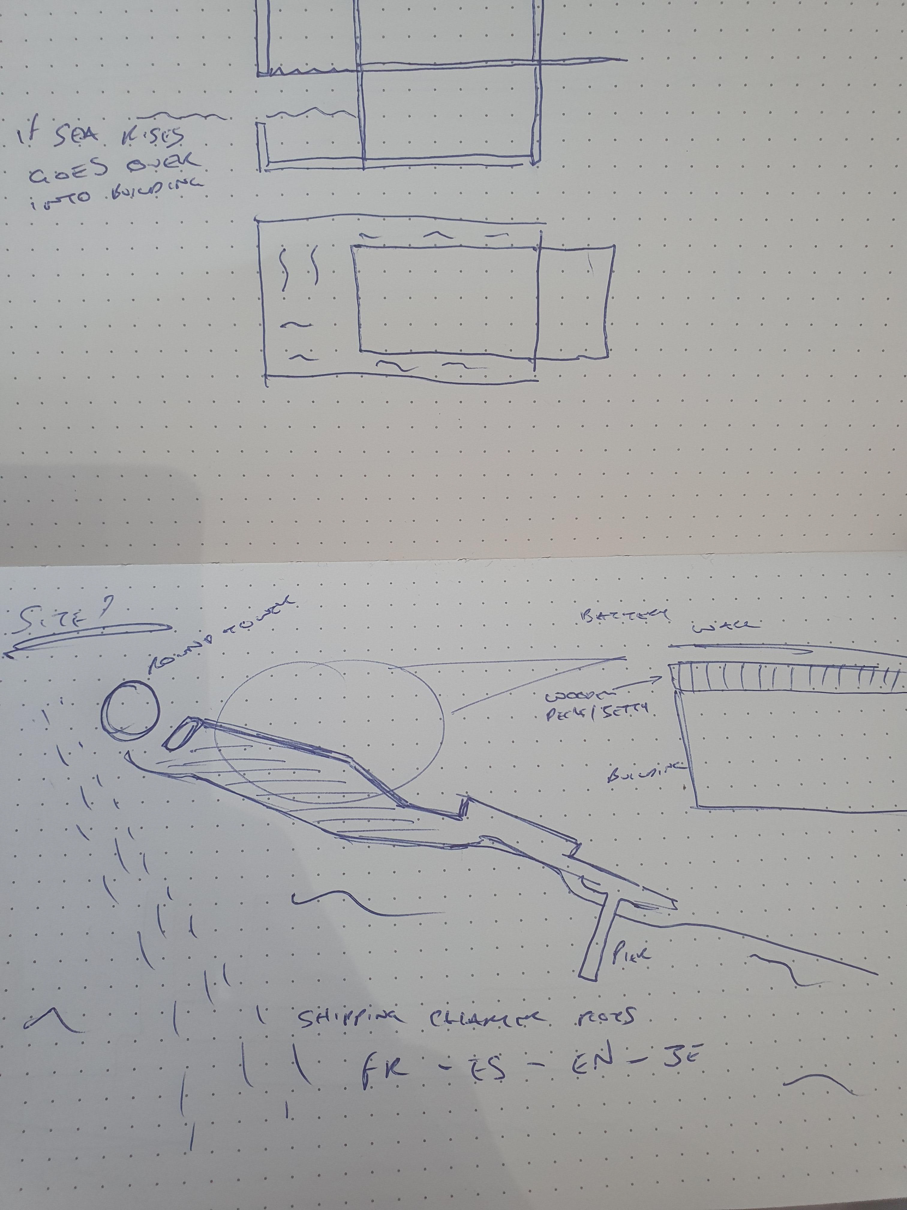
I have chosen this site for my project as I feel it will fit with the general concept I want to achieve well. It is near the sea with great public access and I can use this to my advantage integrating into the many paths which lead around this area. There is a good 15m x 40m plot with a possibility to go out into the existing sea on stilts perhaps.
I did debate using the site to the right of the pier however felt that the left offered better access and does not obstruct any access to the shore as you can not go from the right "beach" up to the pier, you would have to somehow go under the pier itself to get to this area so the chosen site is widely unused by people.

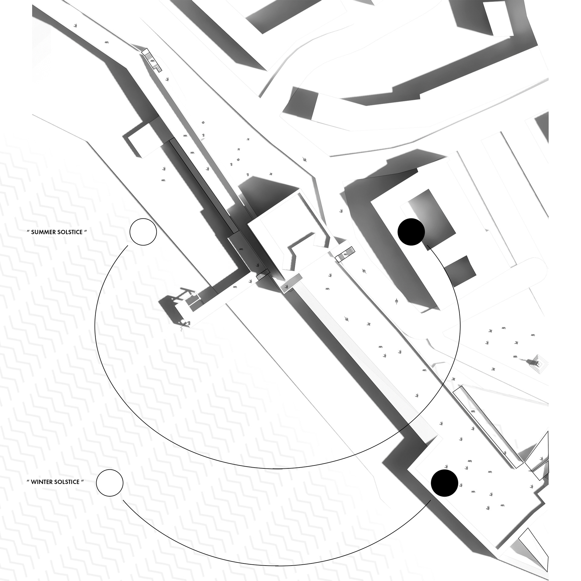
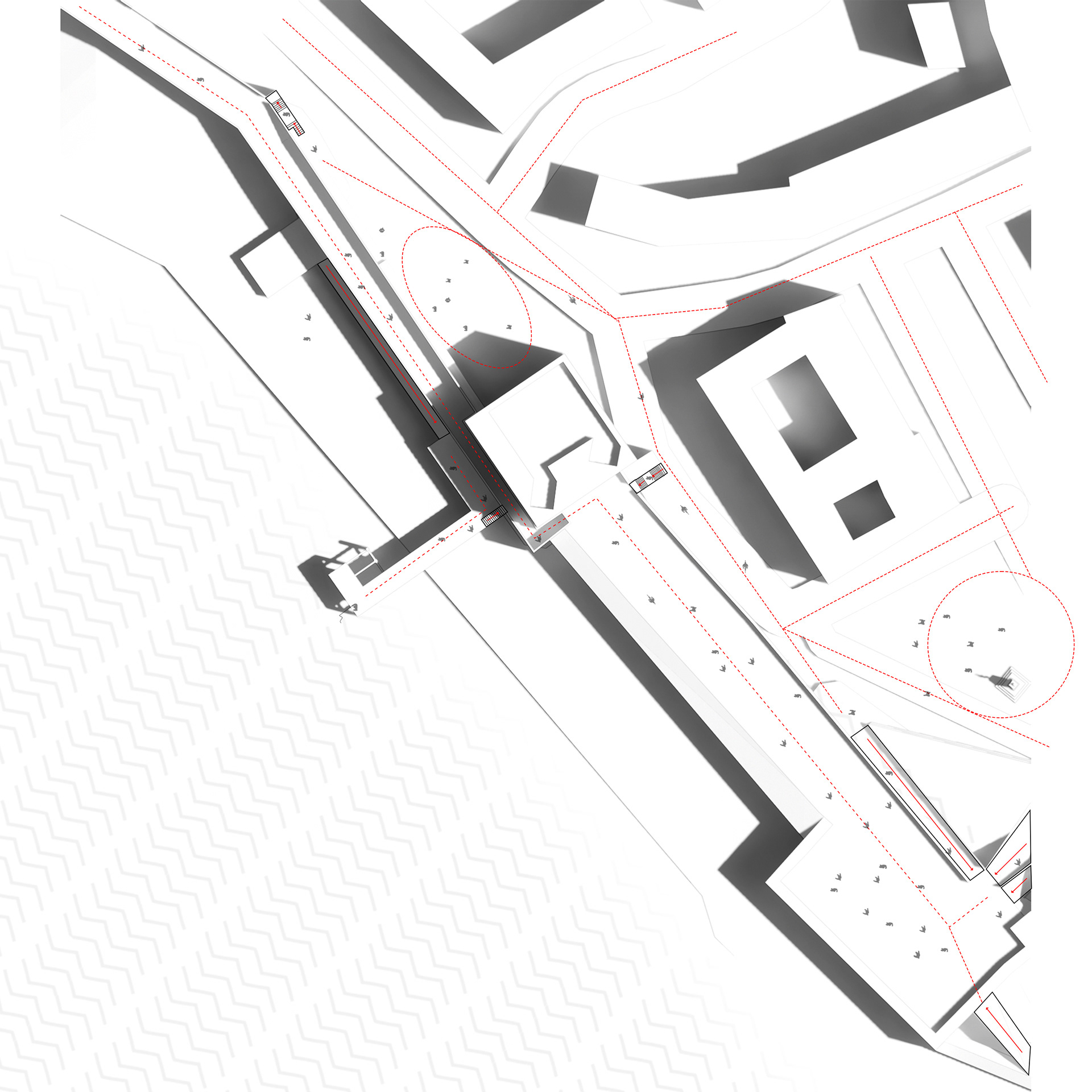
This diagramme illustrates the various routes up to the Battery Wall and old sea wall defences as well as social hubs and large open spaces/plazas (indicated with circular paths). We can see that (outside of covid 19) there are various routes and flows of people making this a really nice communal location with existing shops and memorials around the location.